Land surveyors play an important role by providing technical information on the measurements of lands and various kinds of infrastructure that has got to do with landed properties, they use the information they collect to give expert advice to developers and architects on projects. In Ghana,traditional ways of surveying and mapping is a daunting and laborious task often plagued with unacceptable margins of error. Accuracy in the practice of surveying and mapping is a very essential ingredient because other professionals rely on the data they supply to work. Times have changed with the advancement in technology and as such, traditional ways of practice which impedes the quality of work done must be looked at and rethought.
This is where Sokoaerial comes in to show the path to a new era of executing surveying with a pristine standard of accuracy due to the technology involved.

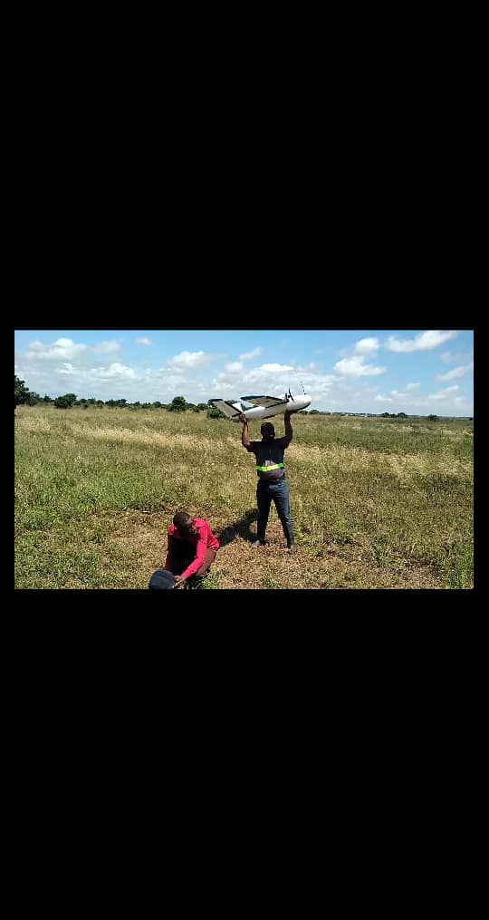
Soko Aerial offers a wide range of services when it comes to drone technology. Soko Aerial’s latest technology Arace Mapper is capable off covering 1200 acres in 1 hour and flight time of 2 hours, our clients are assured of the best. We pride ourselves as being the sole accredited distributor of the Arace Mapper in Ghana.
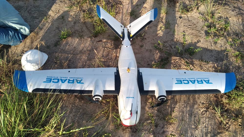
Our technology allows surveyors and mappers to collect unlimited aerial data and precise measurements while saving time, money and manpower. We provide scheduled and on-demand aerial data collection, and premium processing and analytics capabilities to support critical processes such as stockpile volume measurements, terrain mapping, site planning and more.
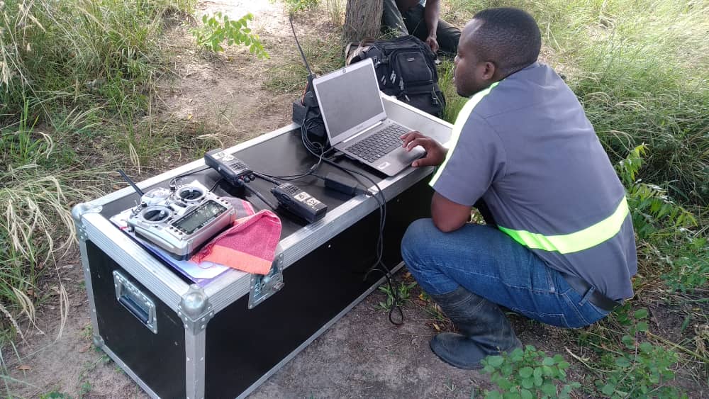
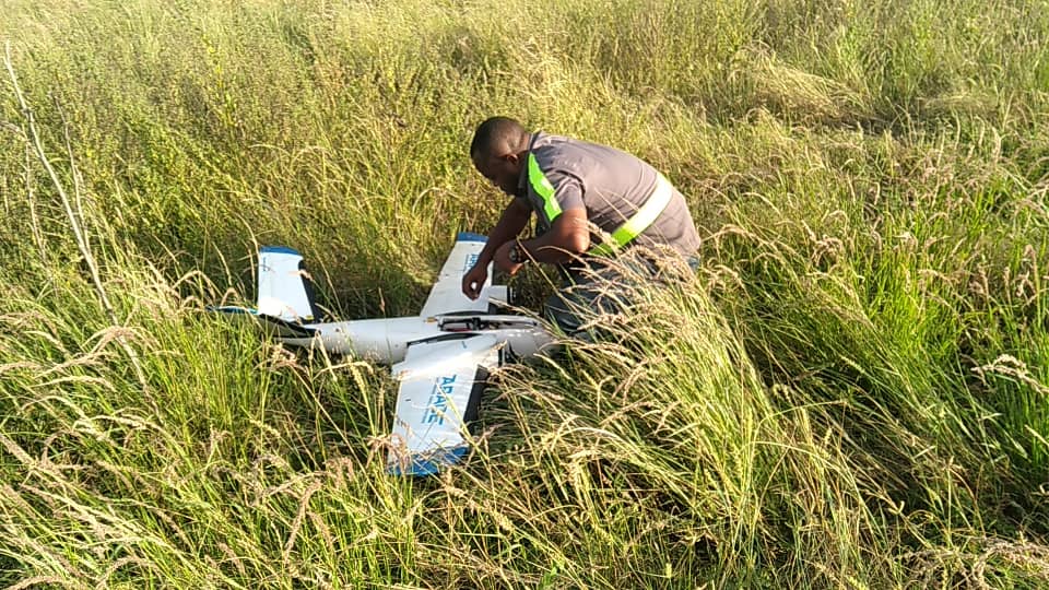
Without compromising the demanding requirements of the profession, this high level of accuracy solution simplifies surveying missions with predefined mapping missions.A drone is deployed to perform autonomously and lands upon completion of a scheduled task. We then process and analyze the aerial data to create very accurate Orthophotos and Digital Elevation Models to assist in surveying reports.
With existing traditional methods, surveyors rely on GPS and data from google earth, the major drawback with the imagery from google earth is a poor resolution of visuals because it is captured by satellites miles away from earth. However, with the use of our drone technology, such gaps are closed. The drone comes equipped with HD cameras which can capture detailed images at even far ranges.
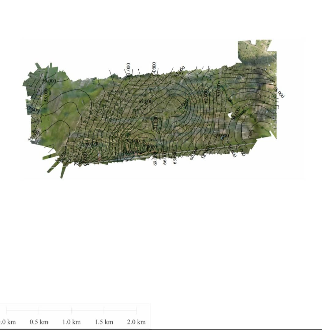
From the images captured the surveyor can easily extract the needed data like contour lines and other mapping data with assisted software. The expensive and closed source nature in the traditional methods of surveying results in the high cost of operation which in contrast with our drones is thoroughly cheap and efficient. The Arace Mapper gives the surveyor an aerial perspective of real-time happenings on the ground this, in turn, produces accurate data which can be relied upon by the surveyor and by any other person who might want to even crosscheck the work carried out by the surveyor. This provides exceptional convenience to the surveyor and can be used as legal evidence in the demarcation of land boundaries.
The Arace mapper is a drone that is feature-packed and can serve the varying and complex needs of our customers.
There you have it, a choice to either join the bandwagon of change to deliver high-quality service to your customers as construction firms and Land surveyors or stick to old methods of working to incur debt and unnecessary waste of resources.